
For information about Hinckley Reservation, including driving directions,
follow this link Hinckley
to their website. They are a part of the Cleveland Metroparks system.
The map and pictures can be enlarged using a left click.
Directions: I like to take Route 303 to Route 606 (Hinckley Rd), follow Hinckley Rd to Bellus Rd
and turn left. Then turn right onto Metropolitan Parkway and you have arrived. Continue on Metro Pkwy
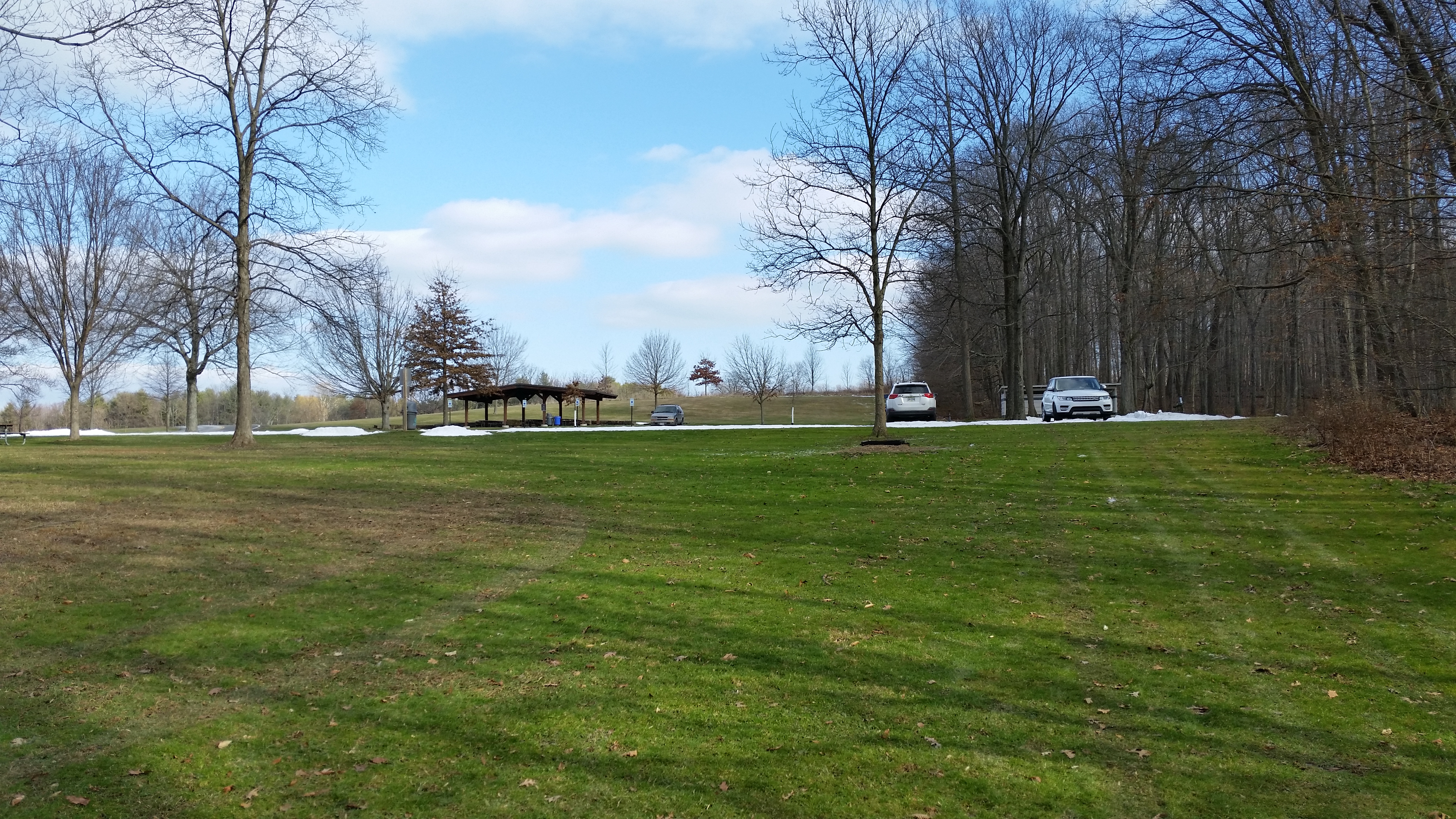
until you reach Johnson's Picknic Area and park.
Above is a map of the trail which is highlighted in blue.
Total distance is 6.15 Miles, Travel time is about 2 to 3 hours with Moderate difficulty.

Take the paved path to the left and follow the Buckeye Trail which is marked with an occasional "Blue Blaze".

Turn right onto the gravel path which will take you to a nice view of the lake.

This is alway a great spot to take a picture no matter what season of the year.
This was taken in January of 2016.

The gravel trail ends at State Rd where you will turn left to follow the paved trail.
Continue crossing the bridge and then cross State Rd. to Whipps Ledges. Follow the Buckeye Trail
to the right or you can cut a 1/4 mile off of your hike and just head straight up the road thru
the Whipps Ledges parking lot.

The Buckeye Trail reconnects from behind the restroom. Then continue up the hill on the gravel trail
following the blue blaze marking of the Buckeye Trail.

Continue walking to the top of the hill where the trail turns to the left.
Here you will see some very unusual rock formations.
There are often rock climbers that practice repelling on the walls to your right.

Continue up the staircase to your right.

Watch for the blue blaze that will turn right shortly. Follow the blue blaze markings
to the Top of the Ledges parking lot.
You can also just walk through the parking lot and up the left side of the woods.

I always like to stop and enjoy this view of a meadow and Parker Rd. Follow the trail that turns right.

When you reach this bench it is a nice place to take a break and enjoy the view.
You can hike straight to the opposite corner of the field or walk the edge of the woods
to the left and then turn right to the same corner. Then walk downhill on the gravel path.
When you reach Parker Rd. turn right and follow the roadway.

I love to walk thru this area as the scenery is excellent. See the sign designating
it as part of the Western Reserve Land Conservancy

When you reach the Taki Nature Research Area, the road turns left and becomes Harter Rd.

Continue walking until you reach the horse trail and turn right. From this point on you
will follow the white blaze of the horse trail all the way back to State Rd.

Its usually easy to cross the creek using the stepping stones.
Continue all the way to State Rd.

Be careful crossing State Rd. as the cars moving fast.

Continue walking until you reach the Area Closed sign and turn left.

When you reach the next fork keep to the right.

The trail then goes downhill and makes a 180 degree right turn.

The Road Closed sign is for horseback riders only so continue through the barrier
and you will see the parking lot in a short distance.
I hope you enjoyed the hike.